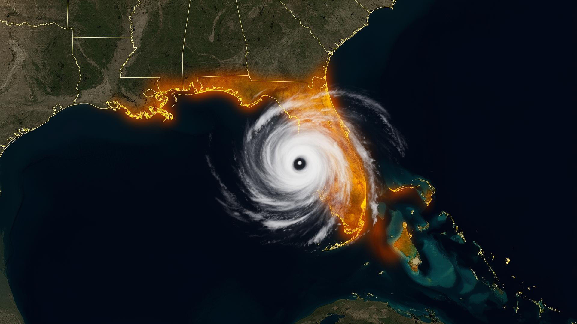
The river has a 100-year flood map.It updates every spring.
River-valley flooding is the most-predicted, least-prepared-for flood threat in America. Forecasts arrive 5 to 10 days in advance. Crest dates are known to the hour. Levee overtopping is modeled to the foot. And every spring, hundreds of garages along the Mississippi, Ohio and Missouri river basins flood anyway — because there is no good way to move a collector vehicle to higher ground, and the alternative has always been to lose it.
River crest flooding · Levee failure · Stalled MCS rainfall
Sources: NOAA National Hurricane Center · NOAA NCEI Billion-Dollar Weather and Climate Disasters · National Weather Service. Figures reflect published agency totals; rounded where noted.
High-risk regions of the river valleys — and what's stored there.
St. Louis / Mississippi Confluence
Confluence of the Mississippi and Missouri. Heavy classic American iron and pre-war restoration projects.
Memphis / Mississippi Delta
Lower Mississippi crest exposure. Concentration of restored muscle cars and inherited family vehicles.
Quad Cities / Upper Mississippi
Annual spring crest events. Riverfront garages with predictable but unstoppable inundation.
Louisville / Ohio River
Ohio River basin flooding. Heavy classic American truck and muscle ownership.
Cincinnati / Tri-State
Ohio River crest events. Concours-grade collections in Indian Hill and the Kentucky horse country.
Kansas City / Missouri Basin
Missouri River basin plus stalled MCS rainfall events. Restored American iron and inherited collections.
The river-valley protocol.
You will have days of warning. Use them.
- Crest -10 dayMonitor NWS river forecasts. Confirm vault is on-site and inspected.
- Crest -5 dayOpen and inspect. Confirm zipper track. Verify deployment path is clear.
- Crest -2 dayDeploy. Seal the vault while conditions are dry.
- Crest -0Vehicle is sealed. Plan for one to three weeks of standing-water exposure.