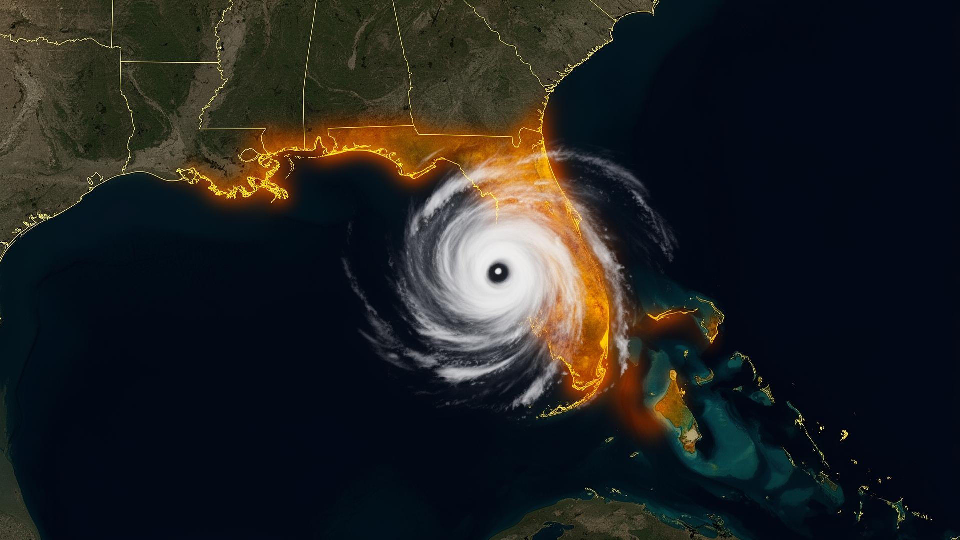
California's flood threat doesn't have a name.It has a forecast.
Atmospheric rivers now deliver 30 to 50 percent of California's annual precipitation in just a handful of multi-day storm events. Post-fire watersheds in Santa Barbara, Sonoma and the Sierra foothills route debris-laden flood water through neighborhoods that have never flooded in living memory. The state has the highest concentration of collector vehicles in America — and the most rapidly changing flood map.
Atmospheric rivers · Post-fire debris flows · Coastal king tides
Sources: NOAA National Hurricane Center · NOAA NCEI Billion-Dollar Weather and Climate Disasters · National Weather Service. Figures reflect published agency totals; rounded where noted.
High-risk regions of California — and what's stored there.
Bay Area (Marin → Silicon Valley)
Atmospheric river corridor. Heavy concentration of European exotics, vintage Porsches and Silicon Valley private collections.
Santa Barbara / Montecito
Post-fire debris flow zone. World-class collections in slab-on-grade garages downhill of burn scars.
Los Angeles Basin
Urban drainage failure during atmospheric river events. The largest concours-grade concentration of cars on the West Coast.
Malibu / Pacific Coast
Post-fire debris flow plus coastal king-tide flooding. Beachfront garage exposure.
Sacramento Valley
Levee-protected floodplain. Yolo Bypass operations and Sacramento River exposure.
Sierra Foothills
Snowmelt amplification of atmospheric river rainfall. Inherited family vehicles and restored American iron.
The California atmospheric river protocol.
NOAA AR scale 3 or higher: treat it like a hurricane warning.
- AR-5 dayWatch the AR scale forecast. Atmospheric rivers escalate fast — Cat 4 and Cat 5 ARs are now annual.
- AR-3 dayPre-stage the vault. Confirm drainage and post-fire debris path if applicable.
- AR-1 dayDeploy before the first band. Seal the vault. Verify continuous base contact.
- AR-0Stay inside. The vehicle is sealed for the duration.