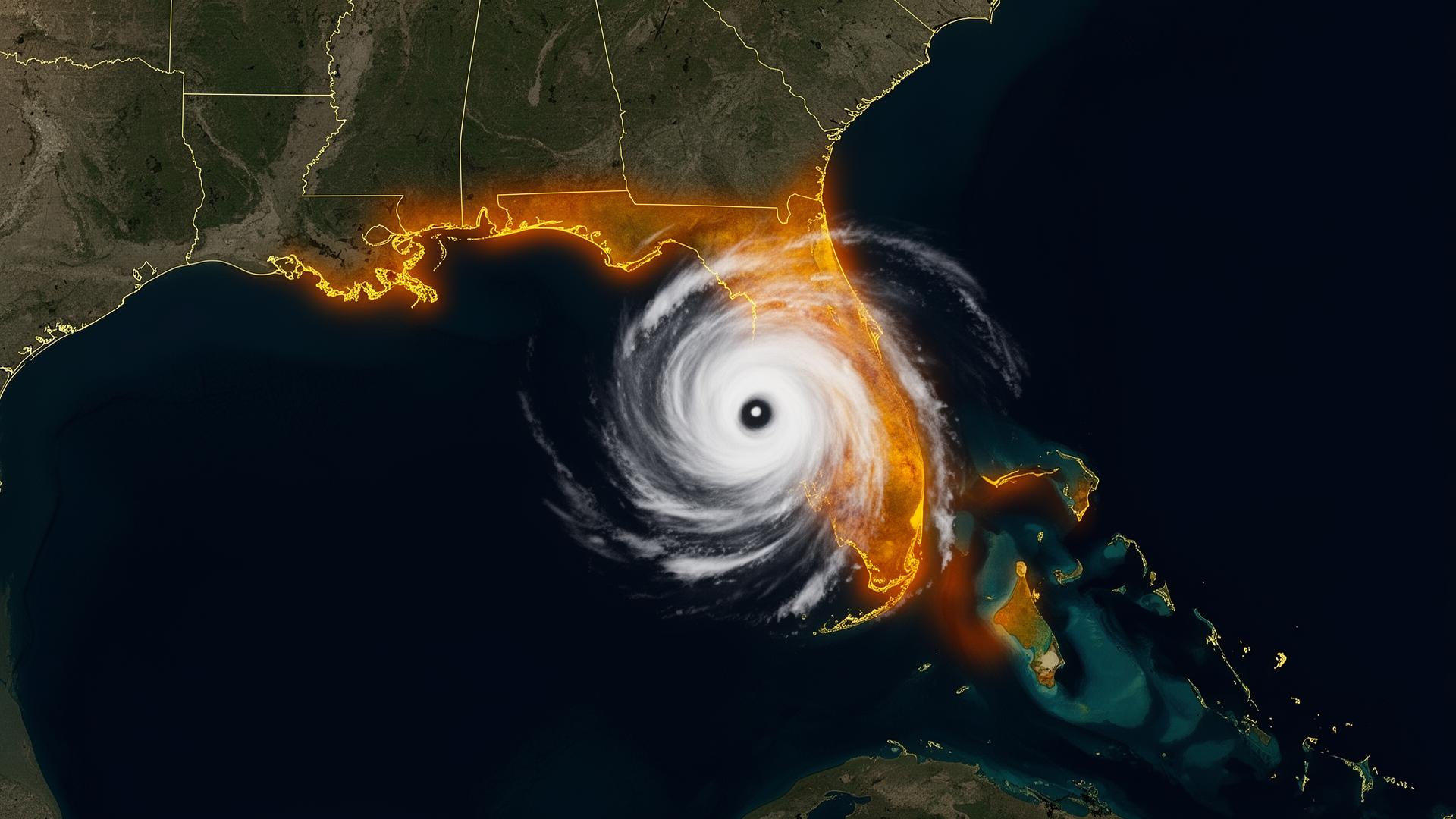
The central Gulf doesn't lose cars to rain.It loses them to the wall of water behind the rain.
Katrina. Rita. Gustav. Ida. Laura. The central Gulf Coast has absorbed more major-hurricane landfalls in the last twenty years than any equivalent stretch of U.S. coastline. Storm surge of 15 to 28 feet has become the regional baseline — and the levee, pump, and drainage systems built to hold it back are, by their own engineers' admission, not designed for what's coming next.
Major hurricane landfall · Storm surge · Levee & drainage failure
Sources: NOAA National Hurricane Center · NOAA NCEI Billion-Dollar Weather and Climate Disasters · National Weather Service. Figures reflect published agency totals; rounded where noted.
High-risk regions of the central Gulf — and what's stored there.
New Orleans / Metairie
Below sea level. Pump-system dependent. Heavy concentration of European classics and Garden District private collections.
Baton Rouge / River Parishes
Mississippi River and Amite River basin flooding. Inherited family vehicles and pre-war American iron.
Mississippi Coast (Bay St. Louis → Pascagoula)
Katrina-class surge corridor. Coastal cottages with slab-on-grade garages and weekend collector vehicles.
Mobile / Eastern Shore
Mobile Bay surge plus Tensaw River basin flooding. Heavy classic American muscle and restored truck ownership.
Lafayette / Acadiana
Stalled tropical rainfall events. Sugar Belt collections and inherited classic vehicles.
Lake Charles
Laura and Delta landfall zone (2020). Twice-flooded private collections still being restored.
The central Gulf pre-landfall protocol.
When the cone shows the central Gulf, the protocol starts at T-96.
- T-96 hrMandatory evacuation will come. Pre-stage the vault. Brief any caretaker remaining behind.
- T-72 hrOpen and inspect. Confirm zipper track is clean. Verify deployment path.
- T-48 hrDeploy. Seal before contraflow begins. Confirm vehicle weight is on the base.
- T-0Evacuate. Plan for sealed standing-water exposure of one to three weeks.