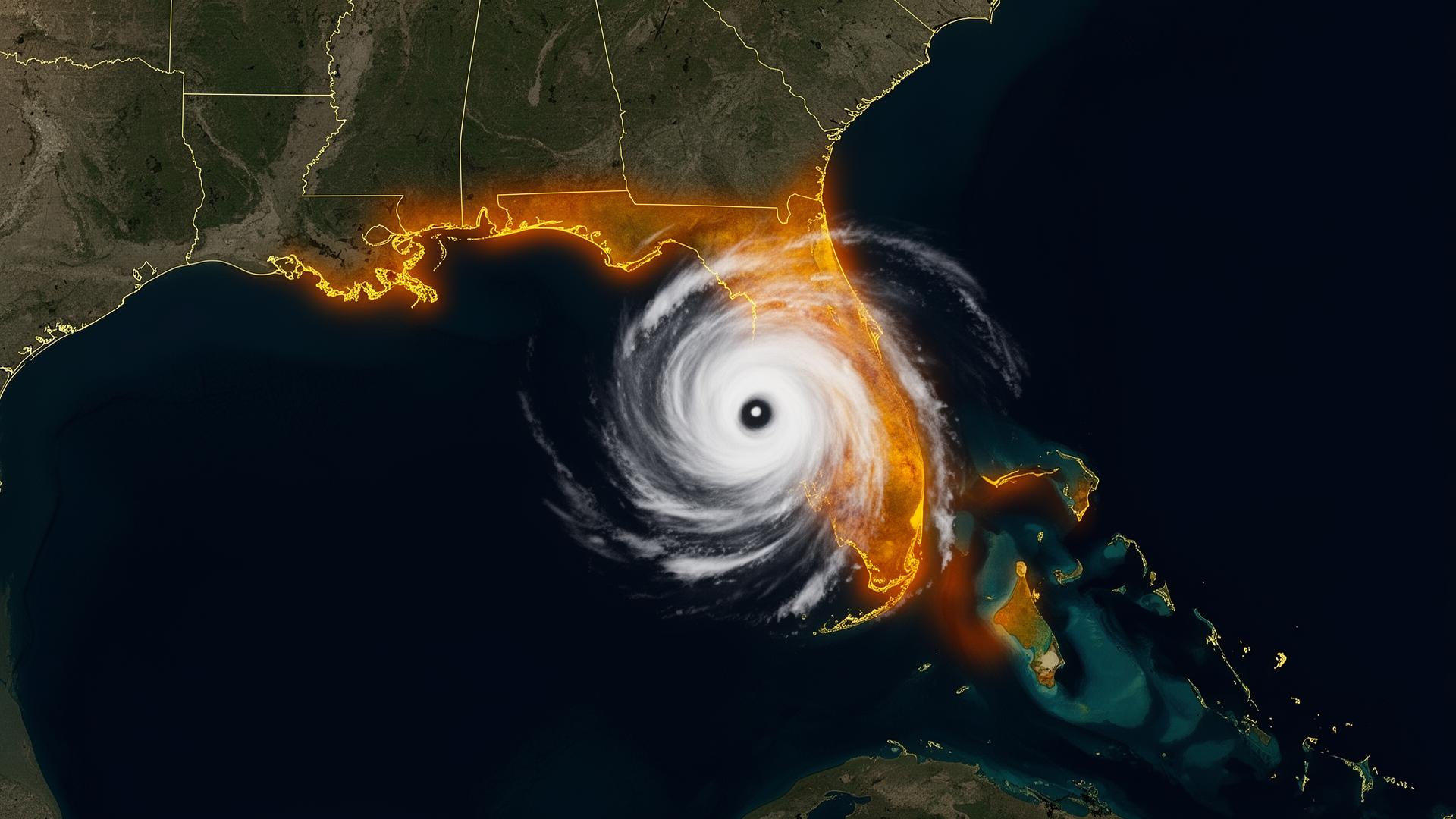
The Carolinas don't get hit.They get parked on.
Florence stalled over the Carolinas for four days. Matthew did the same in 2016. The Atlantic Seaboard's signature flood threat is not the surge — it's the storm that refuses to leave. Inland counties from Fayetteville to Lumberton to Conway have flooded in events that never came within 100 miles of their county lines.
Atlantic hurricanes · Inland river flooding · Stalled tropical systems
Sources: NOAA National Hurricane Center · NOAA NCEI Billion-Dollar Weather and Climate Disasters · National Weather Service. Figures reflect published agency totals; rounded where noted.
High-risk regions of the Carolinas — and what's stored there.
Charleston / Lowcountry
King-tide flooding compounded by hurricane surge. Heavy concentration of restored European classics and Lowcountry private collections.
Wilmington / Wrightsville Beach
Florence ground zero. Cape Fear River basin floods inland for weeks after landfall.
Outer Banks (Hatteras → Corolla)
Atlantic-facing exposure with limited evacuation windows. Coastal cottage garages and inherited classic vehicles.
Myrtle Beach / Grand Strand
Waccamaw River basin flooding. Heavy concentration of weekend-driver muscle and classic convertibles.
Charlotte / Piedmont
Catawba River and urban drainage failure. Late-model exotics and the Carolinas' largest concours collections.
Raleigh / Durham / Triangle
Neuse River basin and inland tropical rainfall. Climate-controlled showrooms with slab-on-grade vulnerability.
The Carolinas pre-storm checklist.
The forecast track is rarely the actual track. Prepare every garage in the cone.
- T-72 hrCarolina storms stall — start early. Confirm drainage. Pre-position the vault.
- T-48 hrOpen and inspect. Brief anyone left behind on the deployment procedure.
- T-24 hrDeploy. Seal the vault before the first rain band arrives — the next dry window may not come.
- T-0Evacuate. Plan for the vehicle to remain sealed for up to a week of standing water.