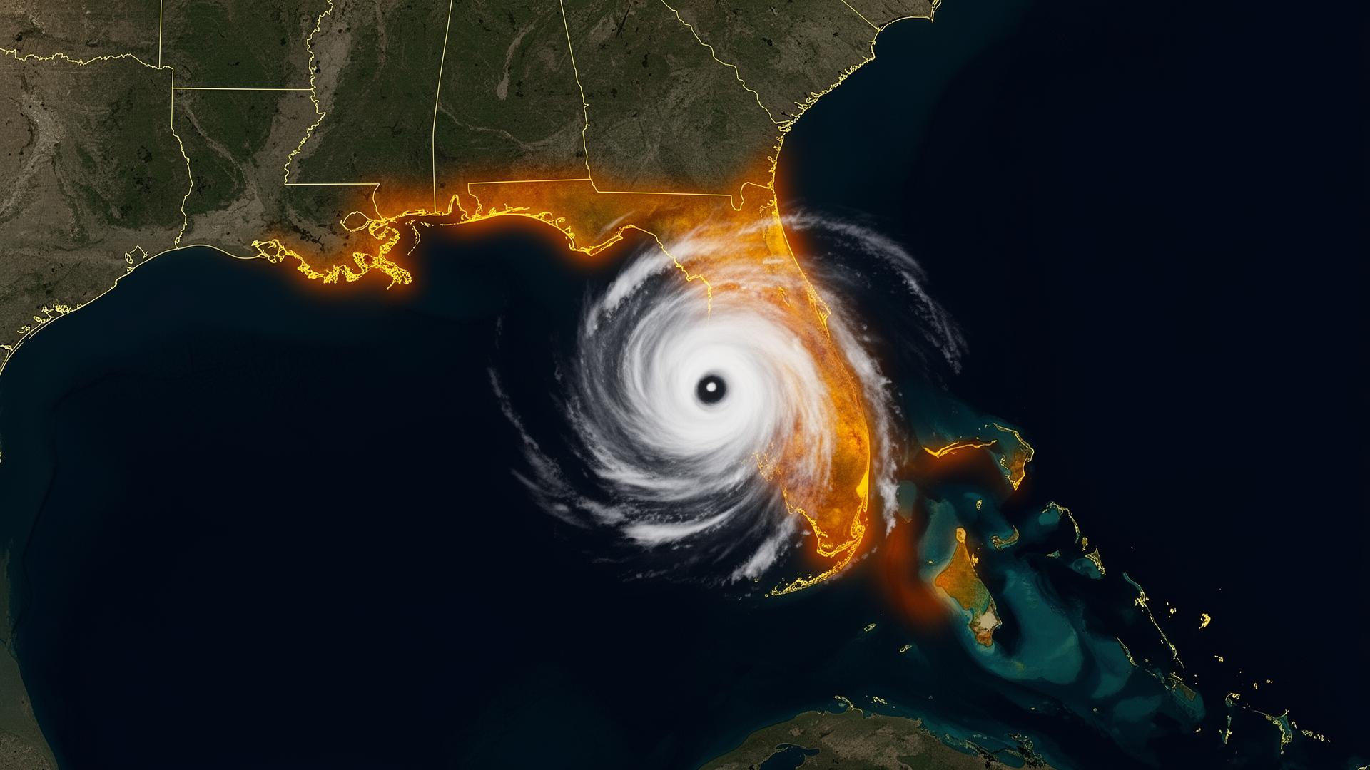
The Mid-Atlantic floods quietly.And expensively.
Hurricane Agnes. Isabel. Sandy. Ida's New York remnants. The Mid-Atlantic's flood history is a list of named storms that arrived as tropical depressions and left as billion-dollar events. The Chesapeake region also leads the nation in sunny-day tidal flooding — a slow-motion threat to coastal collections in Norfolk, Annapolis and the Eastern Shore.
Tropical remnants · Tidal flooding · Inland river basins
Sources: NOAA National Hurricane Center · NOAA NCEI Billion-Dollar Weather and Climate Disasters · National Weather Service. Figures reflect published agency totals; rounded where noted.
High-risk regions of the Mid-Atlantic — and what's stored there.
Hampton Roads / Norfolk
Highest relative sea-level rise on the U.S. East Coast. Naval town with deep collector-vehicle history.
Eastern Shore (VA & MD)
Chesapeake tidal flooding plus tropical remnants. Inherited classic vehicles and restored woody wagons.
Richmond / James River
James River basin flooding. Concentration of pre-war American iron and restored muscle cars.
Washington DC / Northern Virginia
Potomac River basin plus urban drainage failure. Heavy European exotic concentration in Great Falls and McLean.
Baltimore / Annapolis
Chesapeake tidal flooding. Concours-grade collections in Greenspring Valley and the Eastern Shore.
Delmarva Coast
Atlantic-facing exposure plus bay-side tidal events. Coastal cottage garages and weekend collector vehicles.
The Mid-Atlantic dual-threat protocol.
Tropical remnants give 48–72 hours. Tidal flooding gives a tide table.
- T-72 hrTrack tropical remnants closely. Most Mid-Atlantic flood losses come from systems that 'won't hit us.'
- T-48 hrPre-stage the vault. Confirm drainage and tide-table coincidence.
- T-12 hrDeploy before the first rain band. Tidal flooding can begin hours before the storm arrives.
- T-0Stay inside or evacuate inland. The vehicle is sealed.